NASA satellites are watching Earth's newest island rise from the sea
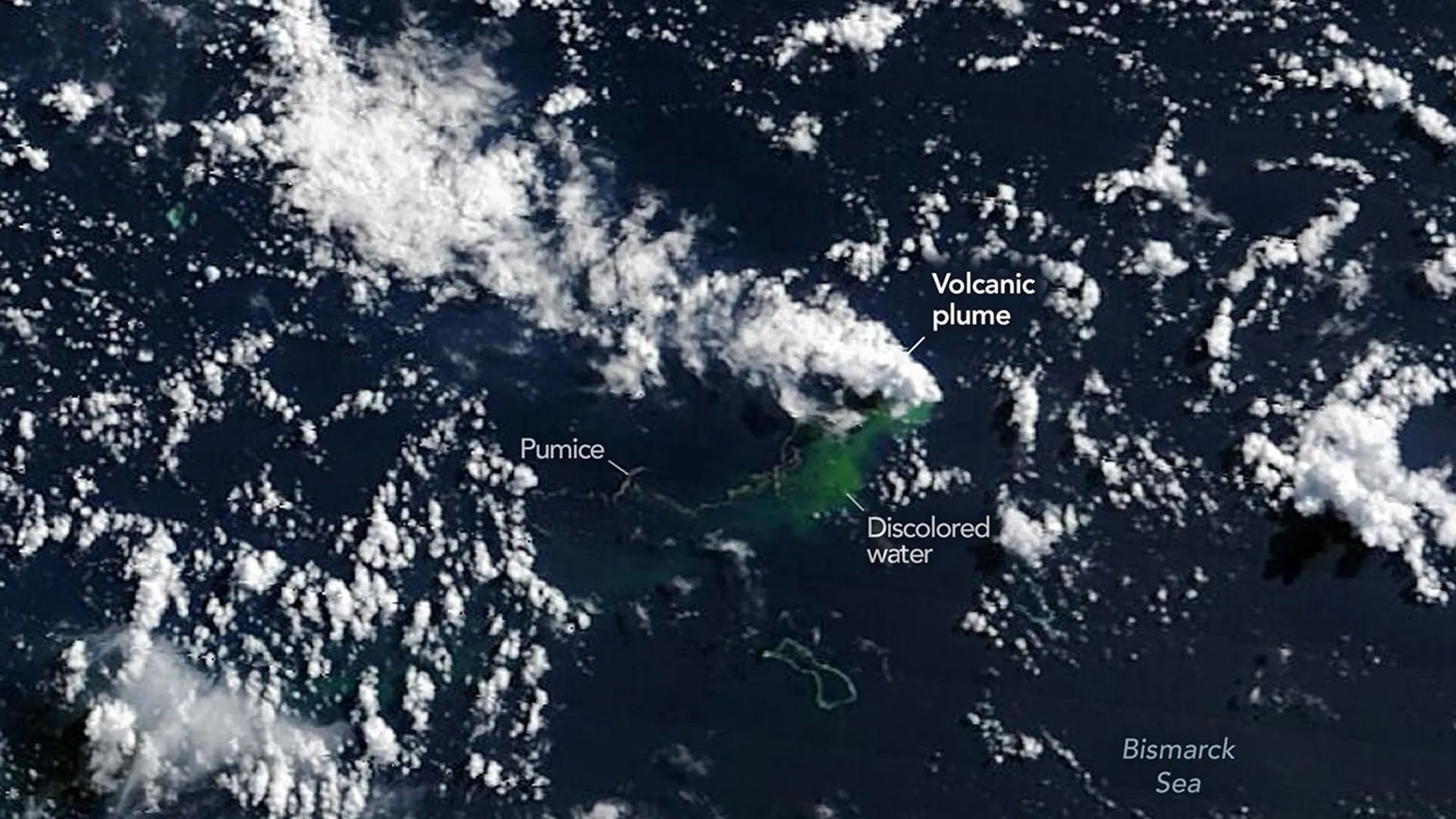
NASA and other international satellites are monitoring a newly discovered submarine volcanic eruption in the Bismarck Sea near Papua New Guinea. Scientists are using remote sensing data to study the geological activity, which remains difficult to map due to the ocean's depth.
Oceanographers often point out that scientists have mapped the surfaces of the Moon and Mars in greater detail than much of Earth's deep ocean. That contrast is especially striking in the Bismarck Sea north of Papua New Guinea, where the seafloor remains poorly understood despite its remarkable geological complexity. The region contains faults, volcanic structures, rifts, scarps, and active subduction and spreading zones, many located at depths that make detailed sonar mapping extremely difficult.
Get the full story
Sign up for Headlinne to unlock AI insights, political bias analysis, and your personalized news feed.
Create free accountAlready have an account? Sign in