TUM Drone Laser System Maps Volcano Gas Before Eruptions
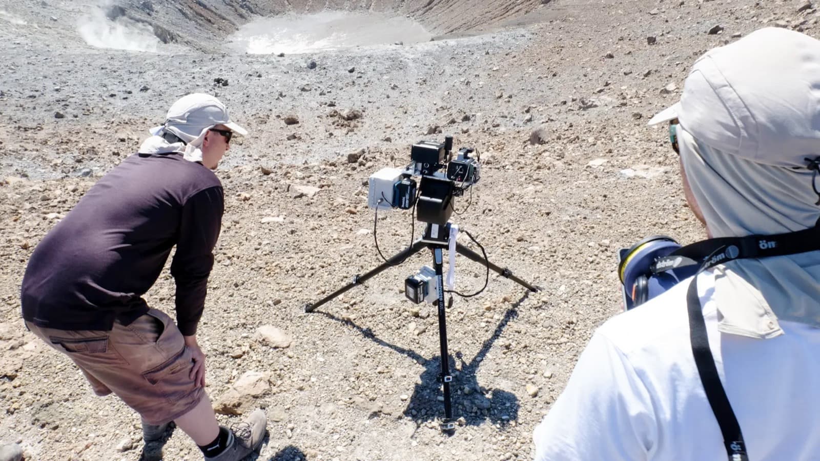
Researchers at the Technical University of Munich have developed an autonomous drone system to map volcanic gas emissions. By measuring gas ratios from the air, the system provides a safer and more accurate method for predicting volcanic eruptions.
Researchers at the Technical University of Munich have flown a drone and laser system that maps the gas cloud over an active volcano with roughly 5 percent measurement error, and they ran the first fully autonomous deployment on Vulcano, an Aeolian island off the coast of Sicily. The target is the chemical signal that precedes an eruption, measured without sending a single volcanologist up the crater rim.
Get the full story
Sign up for Headlinne to unlock AI insights, political bias analysis, and your personalized news feed.
Create free accountAlready have an account? Sign in